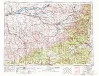
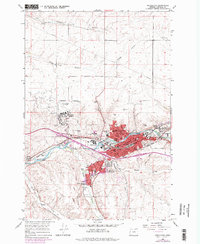
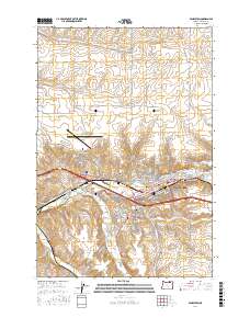
1953 Map of Pendleton
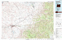
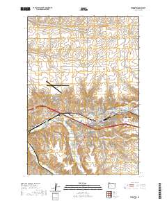
USGS Topo · Published 1980About this map
The Columbia River corridor serves as the industrial and agricultural lifeline for this region, following the river through the McNary Dam and into Lake Wallula. The landscape is defined by the massive infrastructure of the mid-20th century, including the Umatilla Ordnance Depot and the extensive Boardman Bombing Range. These federal installations sit alongside the West Extension Irrigation Canal, which enabled the growth of rail-dependent agricultural centers like Hermiston and Stanfield.
Find a feature on this map
96 named features on this map. Tap any name to fly to it.
Don’t see what you’re looking for? This feature index may not catch every label — zoom into the map to look around manually.
Map Details
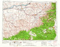
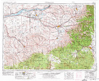
Editions of this 1953 Pendleton Map
4 editions found

Historical Maps of Pendleton Through Time
10 maps found
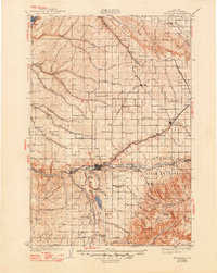
1935 Pendleton
Umatilla County, OR
1953 Pendleton
Umatilla County, OR

1956 Pendleton
Umatilla County, OR
1966 Pendleton
Umatilla County, OR
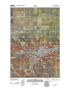
1983 Pendleton
Umatilla County, OR
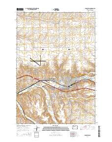
2011 Pendleton
Umatilla County, OR
2014 Pendleton
Umatilla County, OR
2017 Pendleton
Umatilla County, OR
2020 Pendleton
Umatilla County, OR
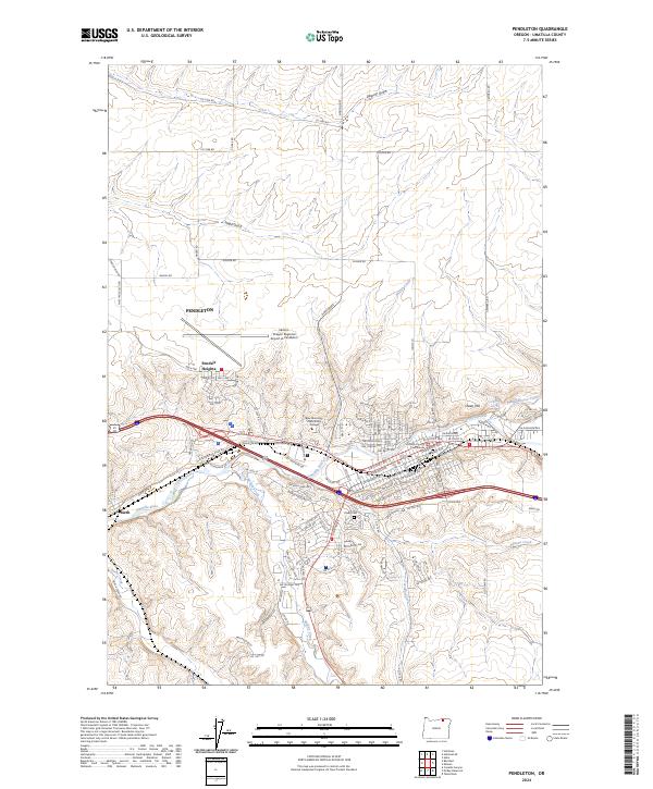
2024 Pendleton
Umatilla County, OR