
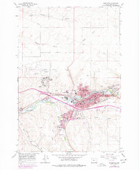
1966 Map of Pendleton
USGS Topo · Published 1967About this map
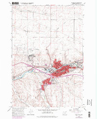
Pendleton serves as the focal point of this 1960s survey, illustrating a period of mid-century expansion along the Umatilla River. The city is defined by its strategic position at the intersection of the Union Pacific and Northern Pacific railroads, which support the region's agricultural and industrial base. The map clearly delineates the Old Indian Treaty Bdy cutting through the landscape, a significant historical marker for researchers of land use and tribal history.
Find a feature on this map
49 named features on this map. Tap any name to fly to it.
Don’t see what you’re looking for? This feature index may not catch every label — zoom into the map to look around manually.
Map Details
Editions of this 1966 Pendleton Map
3 editions found
Other maps of this area

1935 · Pendleton
USGS Topo · 1:125,000

1953 · Pendleton
USGS Topo · 1:250,000

1956 · Pendleton
USGS Topo · 1:250,000

1966 · Mc Kay Reservoir
USGS Topo · 1:24,000

1966 · Holdman
USGS Topo · 1:24,000

1966 · Holdman SE
USGS Topo · 1:24,000

1966 · Table Rock
USGS Topo · 1:24,000

1966 · Mission
USGS Topo · 1:24,000
1966 · Helix
USGS Topo · 1:24,000
1966 · Barnhart
USGS Topo · 1:24,000