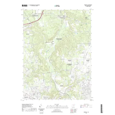
2019 Map of Peninsula
USGS Topo · Published 2019About this map
The Cuyahoga River meanders through a landscape defined by its deep relationship with transit and topography in this modern era survey. Centered on Cuyahoga Valley National Park, the map highlights the preservation of early industrial infrastructure, such as the Everett Road Bridge and the Furnace Run Aqueduct. These features sit alongside smaller, historically distinct settlements like Everett, Ira, and Botzum.
Find a feature on this map
64 named features on this map. Tap any name to fly to it.
Don’t see what you’re looking for? This feature index may not catch every label — zoom into the map to look around manually.
Map Details
Editions of this 2019 Peninsula Map
This is the sole edition of this map. No revisions or reprints were ever made.
Other maps of this area

1903 · Cleveland
USGS Topo · 1:62,500

1903 · Akron
USGS Topo · 1:62,500

1905 · Akron
USGS Topo · 1:62,500

1906 · Kent
USGS Topo · 1:62,500

1906 · Chagrin Falls
USGS Topo · 1:62,500

1908 · Chagrin Falls
USGS Topo · 1:62,500

1950 · Cleveland
USGS Topo · 1:250,000

1953 · Broadview Heights
USGS Topo · 1:24,000

1953 · Twinsburg
USGS Topo · 1:24,000
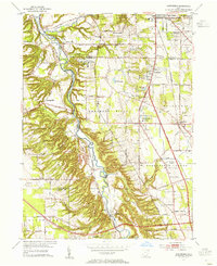
1953 · Northfield
USGS Topo · 1:24,000