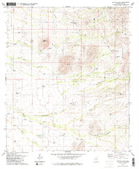
1979 Map of Penitas Hills
USGS Topo · Published 1980About this map
Peyron Ranch and San Juan Ranch stand as primary markers of human settlement in this arid reach of the Sonoran desert during the late 1970s. The landscape is defined by the drainage patterns of Tascuela Wash, San Juan Wash, and Papago Wash, which carve through the Black Hills and the southern extent of the Sierrita Mountains. Cattle ranching and water management are evident through the network of named tanks, including La Cholla Tank and Soldado Tank, which supported the local economy alongside the Batamote Road. High points like Baldy Peak and Cerro Prieto rise above the alluvial fans, while extractive industries are noted by several Quarries and Prospects in the northeastern foothills. A Section Well and the Cinco de Mayo Well suggest the vital importance of groundwater in this territory, where even minor features like Ash Dam were critical to local land use.
Find a feature on this map
36 named features on this map. Tap any name to fly to it.
Don’t see what you’re looking for? This feature index may not catch every label — zoom into the map to look around manually.
Map Details
Editions of this 1979 Penitas Hills Map
2 editions found
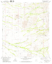
Other maps of this area

1920 · Arivaca
USGS Topo · 1:125,000

1925 · Samaniego Peak
USGS Topo · 1:62,500

1939 · Twin Buttes
USGS Topo · 1:62,500

1939 · Tubac
USGS Topo · 1:62,500

1940 · Palo Alto Ranch
USGS Topo · 1:62,500

1941 · Twin Buttes
USGS Topo · 1:62,500

1941 · Arivaca
USGS Topo · 1:62,500

1943 · Arivaca
USGS Topo · 1:62,500

1943 · Palo Alto Ranch
USGS Topo · 1:62,500

1943 · Tubac
USGS Topo · 1:62,500