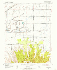
1954 Map of Pennington
USGS Topo · Published 1955About this map
Sutter Buttes dominate the southern half of this landscape, rising sharply above the flat agricultural lands of the Sacramento Valley. The transition between the steep volcanic terrain and the surrounding lowlands is marked by Peace Valley and its namesake Peace Valley Cem, while the northern portion of the map is defined by a complex network of irrigation and drainage infrastructure. This area showcases the intensive water management of mid-century California, featuring the Cherokee Canal, the Main Drainage Canal, and the Traynor Lateral. A significant portion of the wetland area is dedicated to conservation at the Gray Lodge Waterfowl Management Area, which includes its own Headquarters and a system of levees. Settled life centers on the small community of Pennington and family-named landmarks like North Butte Cemetery, connected by a grid of rural routes such as Goodspeed-Watt Road and West Liberty Road.
Find a feature on this map
30 named features on this map. Tap any name to fly to it.
Don’t see what you’re looking for? This feature index may not catch every label — zoom into the map to look around manually.
Map Details
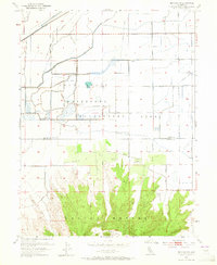
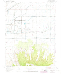
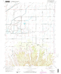
Editions of this 1954 Pennington Map
4 editions found
Other maps of this area

1888 · Marysville
USGS Topo · 1:125,000

1891 · Marysville
USGS Topo · 1:125,000

1894 · Marysville
USGS Topo · 1:125,000

1895 · Marysville
USGS Topo · 1:125,000

1911 · Sutter
USGS Topo · 1:31,680

1911 · Sanborn Slough
USGS Topo · 1:31,680

1911 · Landlow
USGS Topo · 1:31,680

1912 · Marysville Buttes
USGS Topo · 1:31,680

1912 · Butte City
USGS Topo · 1:31,680

1912 · Pennington
USGS Topo · 1:31,680