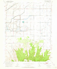
1954 Map of Pennington
USGS Topo · Published 1965About this map
The northern slopes of the Sutter Buttes rise abruptly from the Sacramento Valley floor, dominating the southern portion of this mid-century survey. These volcanic peaks provide a dramatic backdrop to Peace Valley and the surrounding agricultural landscape of the Butte and Sutter county line. The small settlement of Pennington sits at the base of the hills, serving as a focal point for local orchard operations, evidenced by the nearby Almond Orchard Road.
Find a feature on this map
28 named features on this map. Tap any name to fly to it.
Don’t see what you’re looking for? This feature index may not catch every label — zoom into the map to look around manually.
Map Details
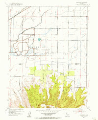
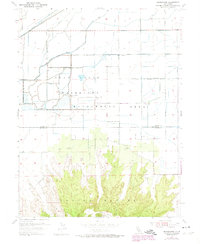
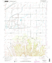
Editions of this 1954 Pennington Map
4 editions found
Other maps of this area

1888 · Marysville
USGS Topo · 1:125,000

1891 · Marysville
USGS Topo · 1:125,000

1894 · Marysville
USGS Topo · 1:125,000

1895 · Marysville
USGS Topo · 1:125,000

1911 · Sutter
USGS Topo · 1:31,680

1911 · Sanborn Slough
USGS Topo · 1:31,680

1911 · Landlow
USGS Topo · 1:31,680

1912 · Marysville Buttes
USGS Topo · 1:31,680

1912 · Butte City
USGS Topo · 1:31,680

1912 · Pennington
USGS Topo · 1:31,680