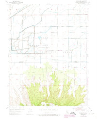
1954 Map of Pennington
USGS Topo · Published 1974About this map
The Sutter Buttes rise sharply from the surrounding agricultural lowlands in this mid-century survey of the Sacramento Valley. The northern extent of these volcanic formations dominates the lower half of the map, giving way to the fertile basins of Peace Valley and the flatlands of the Gray Lodge Waterfowl Management Area. This wildlife refuge, centered around a complex system of levees and the Main Drainage Canal, illustrates the intensive water management required to support both conservation and the nearby almond orchards.
Find a feature on this map
27 named features on this map. Tap any name to fly to it.
Don’t see what you’re looking for? This feature index may not catch every label — zoom into the map to look around manually.
Map Details
Editions of this 1954 Pennington Map
4 editions found
Other maps of this area

1888 · Marysville
USGS Topo · 1:125,000

1891 · Marysville
USGS Topo · 1:125,000

1894 · Marysville
USGS Topo · 1:125,000

1895 · Marysville
USGS Topo · 1:125,000

1911 · Sutter
USGS Topo · 1:31,680

1911 · Sanborn Slough
USGS Topo · 1:31,680

1911 · Landlow
USGS Topo · 1:31,680

1912 · Marysville Buttes
USGS Topo · 1:31,680

1912 · Butte City
USGS Topo · 1:31,680

1912 · Pennington
USGS Topo · 1:31,680