
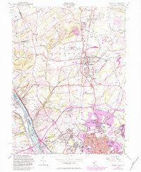
1954 Map of Pennington
USGS Topo · Published 1972About this map
The Delaware River forms the western boundary of this Mercer County landscape, where the historic Delaware and Raritan Canal runs parallel to the water's edge. The terrain is defined by the significant rise of Pennington Mountain and Baldpate Mountain in the northwest, contrasting with the expanding suburban and institutional footprints to the south. Educational and state facilities are prominent, including the New Jersey State Teachers College, the State School For Deaf, and the Overseas Radio Transmitting Area.
Find a feature on this map
89 named features on this map. Tap any name to fly to it.
Don’t see what you’re looking for? This feature index may not catch every label — zoom into the map to look around manually.
Map Details
Editions of this 1954 Pennington Map
6 editions found
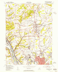
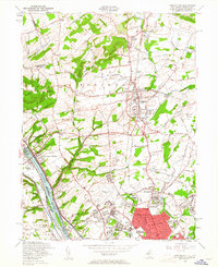
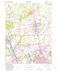
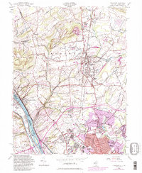
Other maps of this area

1888 · Bordentown
USGS Topo · 1:62,500

1888 · Princeton
USGS Topo · 1:62,500

1890 · Lambertville
USGS Topo · 1:62,500

1890 · Burlington
USGS Topo · 1:62,500

1891 · Lambertville
USGS Topo · 1:62,500

1893 · Bordentown
USGS Topo · 1:62,500

1893 · Burlington
USGS Topo · 1:62,500

1894 · Princeton
USGS Topo · 1:62,500

1894 · Lambertville
USGS Topo · 1:62,500

1904 · Burlington
USGS Topo · 1:62,500
Featured Places
- Ewing Township, NJ
- Lawrence Township, NJ
- Lower Makefield Township, PA
- Hopewell Township, NJ
- Upper Makefield Township, PA