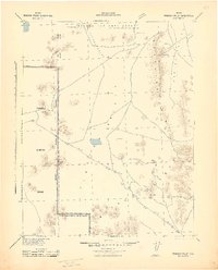
1942 Map of Penoyer Valley
USGS Topo · Published 1942About this map
Penoyer Valley and the surrounding high desert of Lincoln County are captured here during the early years of World War II, showing a landscape defined by isolated mining camps and military expansion. The western half of the map is dominated by the Tonopah Gunnery Range, marked by a clear Military Reservation Boundary that slices north to south across the basin. This military footprint highlights the region's transition into a strategic training ground during the 1940s.
Find a feature on this map
18 named features on this map. Tap any name to fly to it.
Don’t see what you’re looking for? This feature index may not catch every label — zoom into the map to look around manually.
Map Details
Editions of this 1942 Penoyer Valley Map
This is the sole edition of this map. No revisions or reprints were ever made.
Other maps of this area
1908 · Kawich
USGS Topo · 1:250,000
1942 · Emigrant Valley
USGS Topo · 1:125,000
1942 · Reveille Peak
USGS Topo · 1:125,000
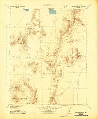
1942 · Wheelbarrow Peak
USGS Topo · 1:125,000
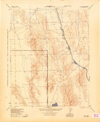
1945 · Alamo
USGS Topo · 1:125,000
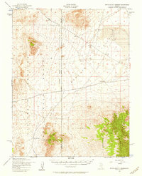
1952 · White Blotch Springs
USGS Topo · 1:62,500
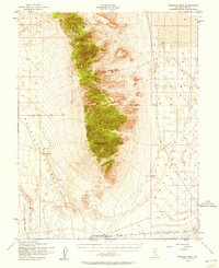
1952 · Reveille Peak
USGS Topo · 1:62,500
1952 · Wheelbarrow Peak
USGS Topo · 1:62,500
1952 · Belted Peak
USGS Topo · 1:62,500
1952 · Groom Mine
USGS Topo · 1:62,500