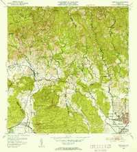
1952 Map of Penuelas
USGS Topo · Published 1953About this map
Cordillera Central peaks dominate the northern horizon of this mid-century survey, where the Bosque Insular de Guilarte covers the high-altitude terrain. The town of Peñuelas sits at the transition between these interior mountains and the coastal plains, serving as a hub for the surrounding agricultural barrios like Tallaboa Alta and Quebrada Ceiba. The map documents a critical period of industrial infrastructure, featuring the Salto Garzas Planta Hidroelectrica No 1 and No 2, which utilized the steep river drops for power generation.
Find a feature on this map
62 named features on this map. Tap any name to fly to it.
Don’t see what you’re looking for? This feature index may not catch every label — zoom into the map to look around manually.
Map Details
Editions of this 1952 Penuelas Map
2 editions found
Other maps of this area

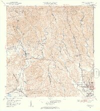
1945 · Playa De Ponce
USGS Topo · 1:30,000

1945 · Ponce
USGS Topo · 1:30,000

1946 · Punta Cuchara
USGS Topo · 1:30,000

1946 · Yauco
USGS Topo · 1:30,000

1946 · Jayuya
USGS Topo · 1:30,000

1946 · Monte Guilarte
USGS Topo · 1:30,000

1946 · Punta Verraco
USGS Topo · 1:30,000

1946 · Penuelas
USGS Topo · 1:30,000

1946 · Adjuntas
USGS Topo · 1:30,000
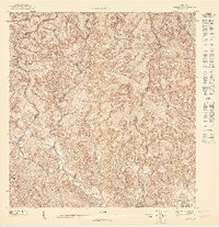
1947 · Yauco NE
USGS Topo · 1:10,000
Featured Places
- Peñuelas
- Sector La Gelpa, Peñuelas
- Sector La Vaquería, Ponce
- Sector Loyola, Peñuelas
- Sector Los Cruz, Ponce