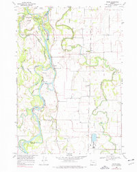
1969 Map of Peoria
USGS Topo · Published 1977About this map
The Willamette River carves a complex course through this 1969 landscape, where an intricate network of secondary channels and islands like John Smith Island and Hoacum Island define the border between Benton and Linn counties. The small riverfront settlement of Peoria serves as a focal point, supported by a ferry crossing that links the dispersed agricultural communities. Inland, the flat valley floor is drained by the meandering Muddy Creek, which passes by several family-named landmarks including Munson and the Grain Elevator at Fayetteville.
Find a feature on this map
34 named features on this map. Tap any name to fly to it.
Don’t see what you’re looking for? This feature index may not catch every label — zoom into the map to look around manually.
Map Details
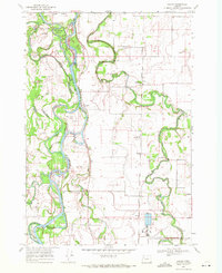
Editions of this 1969 Peoria Map
2 editions found
Other maps of this area

1909 · Harrisburg
USGS Topo · 1:31,680

1909 · Rowland
USGS Topo · 1:31,680

1911 · Monroe
USGS Topo · 1:31,680

1911 · Tangent
USGS Topo · 1:31,680

1911 · Inavale
USGS Topo · 1:31,680

1912 · Halsey
USGS Topo · 1:62,500

1913 · Philomath
USGS Topo · 1:31,680

1913 · Oakville
USGS Topo · 1:31,680

1916 · Albany
USGS Topo · 1:62,500

1921 · Corvallis
USGS Topo · 1:62,500