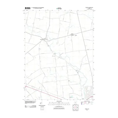
2010 Map of Peoria
USGS Topo · Published 2010About this map
The agricultural landscape of Union County is defined here by the winding course of Mill Creek and a network of rural settlements connected by a grid of township and county roads. This 2010 survey shows the clustered village of Peoria at the center, surrounded by smaller communities such as Raymond and Broadway, each maintaining their own identities through facilities like the Raymond Post Office and Broadway Post Office. A high density of burial grounds, including the Raymond Cemetery, Baughn Cemetery, and Clark Cemetery, indicates deep-rooted family ties in this farming region. The terrain is marked by numerous drainage runs, such as Bear Swamp Run and Otter Run, which shape the local topography and property boundaries. Genealogists will find interest in the eponymous landmarks and residential developments like Fruit-Full Acres that reflect the area's transition into the twenty-first century.
Find a feature on this map
56 named features on this map. Tap any name to fly to it.
Don’t see what you’re looking for? This feature index may not catch every label — zoom into the map to look around manually.
Map Details
Editions of this 2010 Peoria Map
This is the sole edition of this map. No revisions or reprints were ever made.
Other maps of this area

1913 · East Liberty
USGS Topo · 1:62,500

1913 · Richwood
USGS Topo · 1:62,500

1914 · Mechanicsburg
USGS Topo · 1:62,500

1915 · Richwood
USGS Topo · 1:62,500

1915 · East Liberty
USGS Topo · 1:62,500

1916 · Mechanicsburg
USGS Topo · 1:62,500

1916 · Milford Center
USGS Topo · 1:62,500

1944 · East Liberty
USGS Topo · 1:62,500

1944 · Mechanicsburg
USGS Topo · 1:62,500

1944 · Richwood
USGS Topo · 1:62,500