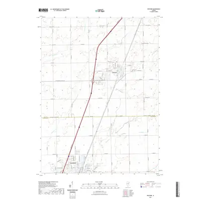
2021 Map of Peotone
USGS Topo · Published 2021About this map
Peotone and Manteno anchor this landscape along the border of Will and Kankakee counties, illustrating the modern layout of these Illinois prairie communities. The survey detail highlights a region defined by agricultural heritage and a network of waterways including Rock Cr, Black Walnut Cr, and Exline Slough. Local history and genealogy are well-represented by several historic burial grounds, such as Peotone Cem, Elmwood Cem, and Saint Joseph Cem. The map traces the corridor between these two towns, showing how the local road network, including W Wilmington Peotone Rd and W Joliet Rd, has evolved to connect the farmsteads and residential expansions around the village centers. The drainage patterns of the Marshall Slough and the various branches of Rock Creek further define the topography of this portion of the northern Illinois plains.
Find a feature on this map
47 named features on this map. Tap any name to fly to it.
Don’t see what you’re looking for? This feature index may not catch every label — zoom into the map to look around manually.
Map Details
Editions of this 2021 Peotone Map
This is the sole edition of this map. No revisions or reprints were ever made.
Other maps of this area

1922 · Momence
USGS Topo · 1:62,500

1922 · Kankakee
USGS Topo · 1:62,500

1924 · Momence
USGS Topo · 1:62,500

1924 · Kankakee
USGS Topo · 1:62,500

1929 · Brisbane
USGS Topo · 1:24,000

1930 · Frankfort
USGS Topo · 1:24,000

1930 · Steger
USGS Topo · 1:24,000

1949 · Peotone
USGS Topo · 1:62,500

1949 · Crete
USGS Topo · 1:62,500
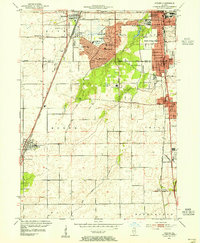
1953 · Steger
USGS Topo · 1:24,000