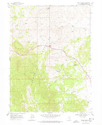
1968 Map of Pequop Summit
USGS Topo · Published 1978About this map
Pequop Summit sits at the center of this 1960s survey, marking a vital high-elevation pass through the Pequop Mountains of Elko County. The landscape is defined by the headwaters of numerous seasonal drainages, including West Squaw Creek and East Squaw Creek, which radiate from the central ridge. Navigation across this high-desert terrain relied on a network of primitive infrastructure, including an Airway Beacon and multiple Radio Facilities stationed along the peaks. The scarcity of water is evident through the naming of isolated points like Milk House Spring, Adele Spring, and Wally Spring, which likely served as critical stops for travelers and livestock. To the southwest, Maverick Canyon and Maverick Lane suggest the area's history of ranching and movement through the high basins before modern highway developments shifted the flow of traffic.
Find a feature on this map
20 named features on this map. Tap any name to fly to it.
Don’t see what you’re looking for? This feature index may not catch every label — zoom into the map to look around manually.
Map Details
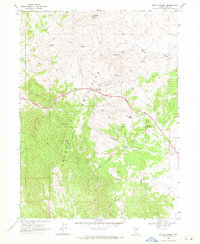
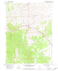
Editions of this 1968 Pequop Summit Map
3 editions found
Other maps of this area

1955 · Wells
USGS Topo · 1:250,000

1955 · Elko
USGS Topo · 1:250,000

1958 · Wells
USGS Topo · 1:250,000

1958 · Elko
USGS Topo · 1:250,000

1961 · Wells
USGS Topo · 1:250,000

1962 · Elko
USGS Topo · 1:250,000

1965 · Elko
USGS Topo · 1:250,000

1967 · Valley Pass
USGS Topo · 1:24,000

1967 · Cobre
USGS Topo · 1:24,000

1968 · Independence Valley NE
USGS Topo · 1:24,000