
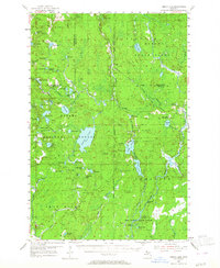
1954 Map of Perch Lake
USGS Topo · Published 1956About this map
Ottawa National Forest and several state forests dominate this landscape at the junction of Houghton, Baraga, and Iron Counties. The terrain is defined by a dense network of glacial lakes and wetlands, including Perch Lake, Marten Lake, and Nesbit Lake. Industry and transport are anchored by the Chicago Milwaukee St Paul and Pacific railroad, which cuts through the timberlands, connecting small outposts like Tunis and Park Siding.
Find a feature on this map
74 named features on this map. Tap any name to fly to it.
Don’t see what you’re looking for? This feature index may not catch every label — zoom into the map to look around manually.
Map Details
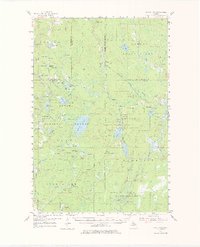
Editions of this 1954 Perch Lake Map
3 editions found
Other maps of this area

1895 · Ned Lake
USGS Topo · 1:62,500

1895 · Perch Lake
USGS Topo · 1:62,500

1898 · Iron River
USGS Topo · 1:62,500

1899 · Crystal Falls
USGS Topo · 1:62,500

1945 · Gibbs City
USGS Topo · 1:24,000

1945 · Sunset Lake
USGS Topo · 1:24,000

1945 · Amasa
USGS Topo · 1:24,000

1946 · Sunset Lake
USGS Topo · 1:31,680

1946 · Gibbs City
USGS Topo · 1:31,680
1947 · Amasa
USGS Topo · 1:24,000