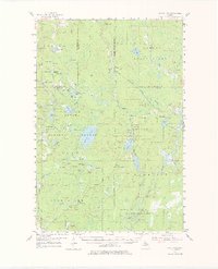
1954 Map of Perch Lake
USGS Topo · Published 1977About this map
The dense forests of the Upper Peninsula dominate this mid-century survey, where the Ottawa National Forest and Iron Range State Forest converge. Water defines the landscape, from the expansive Perch Lake and Lake Sainte Kathryn to the winding course of the East Branch Ontonagon River and Dead Stream. This era represents a period of active resource management and lookout surveillance, evidenced by the Sidnaw Lookout Tower and the Perch Lake Lookout Tower positioned to monitor the vast timberlands.
Find a feature on this map
80 named features on this map. Tap any name to fly to it.
Don’t see what you’re looking for? This feature index may not catch every label — zoom into the map to look around manually.
Map Details
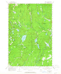
Editions of this 1954 Perch Lake Map
3 editions found

Other maps of this area

1895 · Ned Lake
USGS Topo · 1:62,500

1895 · Perch Lake
USGS Topo · 1:62,500

1898 · Iron River
USGS Topo · 1:62,500

1899 · Crystal Falls
USGS Topo · 1:62,500

1945 · Gibbs City
USGS Topo · 1:24,000

1945 · Sunset Lake
USGS Topo · 1:24,000

1945 · Amasa
USGS Topo · 1:24,000

1946 · Sunset Lake
USGS Topo · 1:31,680

1946 · Gibbs City
USGS Topo · 1:31,680
1947 · Amasa
USGS Topo · 1:24,000