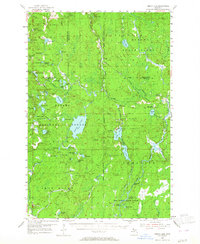
1954 Map of Perch Lake
USGS Topo · Published 1964About this map
Ottawa National Forest and the Iron Range State Forest dominate this mid-century landscape where the borders of Houghton, Baraga, and Iron counties meet. The region is defined by a dense network of glacial lakes and wetlands, centered around the expansive Perch Lake. Significant elevations are monitored from the Sidnaw Lookout Tower in the north and the Perch Lake Lookout Tower further south, emphasizing the importance of fire surveillance in these timber-rich lands.
Find a feature on this map
72 named features on this map. Tap any name to fly to it.
Don’t see what you’re looking for? This feature index may not catch every label — zoom into the map to look around manually.
Map Details
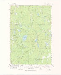
Editions of this 1954 Perch Lake Map
3 editions found

Other maps of this area

1895 · Ned Lake
USGS Topo · 1:62,500

1895 · Perch Lake
USGS Topo · 1:62,500

1898 · Iron River
USGS Topo · 1:62,500

1899 · Crystal Falls
USGS Topo · 1:62,500

1945 · Gibbs City
USGS Topo · 1:24,000

1945 · Sunset Lake
USGS Topo · 1:24,000

1945 · Amasa
USGS Topo · 1:24,000

1946 · Sunset Lake
USGS Topo · 1:31,680

1946 · Gibbs City
USGS Topo · 1:31,680
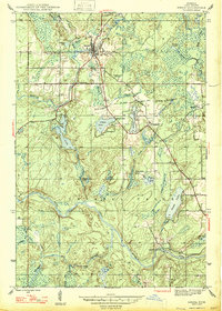
1947 · Amasa
USGS Topo · 1:24,000