
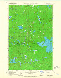
1960 Map of Perent Lake
USGS Topo · Published 1962About this map
The Superior National Forest and Minnesota State Forest converge in this 1960 field study, revealing a complex aquatic ecosystem in Lake County. The landscape is defined by an intricate network of waterways, including the expansive Perent Lake and the meandering Island River. Dozens of smaller, characteristically named water bodies such as Chickadee Lake, Ferne Lake, and Whittler Lake are scattered across the timbered terrain, connected by minor streams like Maniwaki Creek and Powwow Creek.
Find a feature on this map
37 named features on this map. Tap any name to fly to it.
Don’t see what you’re looking for? This feature index may not catch every label — zoom into the map to look around manually.
Map Details
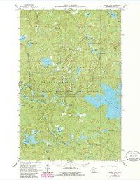
Editions of this 1960 Perent Lake Map
3 editions found
Other maps of this area

1954 · Two Harbors
USGS Topo · 1:250,000

1955 · Isabella
USGS Topo · 1:62,500

1955 · Cramer
USGS Topo · 1:62,500

1957 · Two Harbors
USGS Topo · 1:250,000

1958 · Two Harbors
USGS Topo · 1:250,000

1960 · Lake Polly
USGS Topo · 1:24,000

1960 · Kawishiwi Lake
USGS Topo · 1:24,000

1960 · Alice Lake
USGS Topo · 1:24,000

1964 · Two Harbors
USGS Topo · 1:250,000
1981 · Lake Insula
USGS Topo · 1:24,000