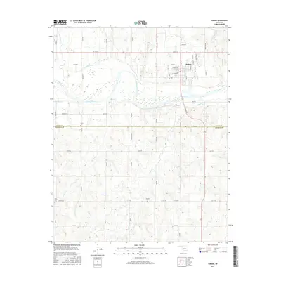
2016 Map of Perkins
USGS Topo · Published 2016About this map
The Cimarron River winds through this central Oklahoma landscape, defining the transition between the rolling uplands and the river valley. The city of Perkins serves as the primary hub, with its established street grid featuring names like W Stumbo Ave and Knipe St. Just to the south across the water, the smaller community of Vinco sits near the crossing of S Jardot Rd. Genealogists will find significant value in the documentation of local burial sites, including the Knipe Cem, Olivet Cem, Brandon Cem, and the Iowa Chapel Cem located near Thompson Rd. The terrain is deeply dissected by numerous watercourses, such as Wild Horse Cr, Corduroy Cr, and Dugout Cr, which shape the rural road network and section lines as they converge toward the river basin.
Find a feature on this map
56 named features on this map. Tap any name to fly to it.
Don’t see what you’re looking for? This feature index may not catch every label — zoom into the map to look around manually.
Map Details
Editions of this 2016 Perkins Map
This is the sole edition of this map. No revisions or reprints were ever made.
Other maps of this area

1893 · Stillwater
USGS Topo · 1:62,500

1908 · Agra
USGS Topo · 1:62,500

1909 · Perkins
USGS Topo · 1:62,500

1929 · Ripley
USGS Topo · 1:62,500

1932 · Ripley
USGS Topo · 1:62,500

1954 · Oklahoma City
USGS Topo · 1:250,000

1955 · Enid
USGS Topo · 1:250,000

1957 · Oklahoma City
USGS Topo · 1:250,000

1958 · Enid
USGS Topo · 1:250,000

1963 · Oklahoma City
USGS Topo · 1:250,000