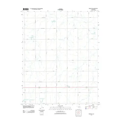
2012 Map of Perry NW
USGS Topo · Published 2012About this map
Polo Cem sits in the southern reaches of this Garfield County landscape, serving as a quiet landmark for local genealogical research. The terrain is defined by a dense network of tributaries including Red Rock Cr, Elkhorn Cr, and Monkey Cr, which feed into a sophisticated system of flood control and water management. Numerous reservoirs, such as Upper Red Rock Cr Site 48 Reservoir and Upper Black Bear Cr Site 24 Reservoir, are integrated into the sections, illustrating the region's managed agricultural hydrology. Small community centers like Shiloh and Pioneer anchor the gridded road system, while local landmarks like a Windmill highlight the area's rural character. This survey provides a clear view of the section lines and rural infrastructure during the early twenty-first century, useful for tracing family property and local history.
Find a feature on this map
30 named features on this map. Tap any name to fly to it.
Don’t see what you’re looking for? This feature index may not catch every label — zoom into the map to look around manually.
Map Details
Editions of this 2012 Perry NW Map
This is the sole edition of this map. No revisions or reprints were ever made.
Other maps of this area

1955 · Enid
USGS Topo · 1:250,000

1956 · Garber
USGS Topo · 1:62,500

1958 · Enid
USGS Topo · 1:250,000

1968 · Lamont SE
USGS Topo · 1:24,000

1968 · Billings
USGS Topo · 1:24,000

1968 · Tonkawa SE
USGS Topo · 1:24,000

1972 · Perry NW
USGS Topo · 1:24,000

1972 · Ceres
USGS Topo · 1:24,000

1972 · Perry
USGS Topo · 1:24,000

1972 · Lucien
USGS Topo · 1:24,000