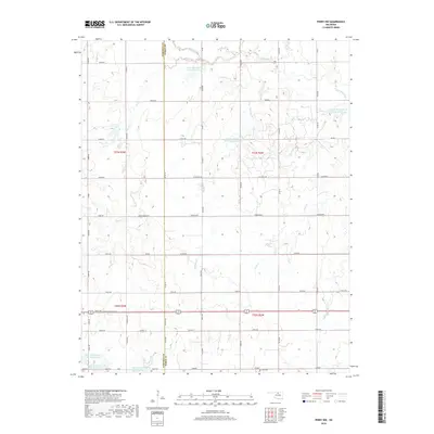
2018 Map of Perry NW
USGS Topo · Published 2018About this map
The Garfield Co and Noble Co line divides this agricultural landscape, where the headwaters of several creek systems shape the rolling plains. A sophisticated network of water management is evident through numerous reservoirs, including the Upper Red Rock Cr Site 50 Reservoir and several sites along the Upper Black Bear Cr. These man-made features are interspersed with natural landmarks like the Ute Bluff rising above the northern drainage.
Find a feature on this map
57 named features on this map. Tap any name to fly to it.
Don’t see what you’re looking for? This feature index may not catch every label — zoom into the map to look around manually.
Map Details
Editions of this 2018 Perry NW Map
This is the sole edition of this map. No revisions or reprints were ever made.
Other maps of this area

1955 · Enid
USGS Topo · 1:250,000

1956 · Garber
USGS Topo · 1:62,500

1958 · Enid
USGS Topo · 1:250,000

1968 · Lamont SE
USGS Topo · 1:24,000

1968 · Billings
USGS Topo · 1:24,000

1968 · Tonkawa SE
USGS Topo · 1:24,000

1972 · Perry NW
USGS Topo · 1:24,000

1972 · Ceres
USGS Topo · 1:24,000

1972 · Perry
USGS Topo · 1:24,000

1972 · Lucien
USGS Topo · 1:24,000