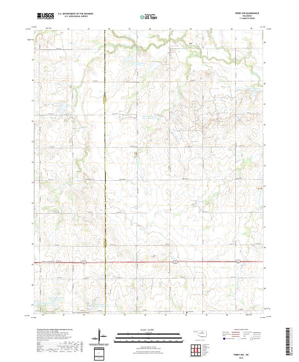
2022 Map of Perry NW
USGS Topo · Published 2022About this map
The rolling plains along the Garfield Co Noble Co line are defined by an extensive water management system of flood control structures and reservoirs. This agricultural landscape is dominated by the Upper Red Rock and Upper Black Bear drainage basins, featuring several named engineering sites such as Upper Red Rock Cr Site 48 Reservoir and Upper Black Bear Cr Site 25 Reservoir. The rectilinear road network, including Shiloh Rd and Breckinridge Rd, reflects the enduring legacy of the Public Land Survey System in this part of Oklahoma. In the southern portion of the quadrangle, the Polo Cem stands as a quiet focal point for local genealogy, situated near the intersection of Rupe Ave and Pioneer road. Winding creeks like Monkey Cr and Elkhorn Cr break the geometric grid of the surrounding farms.
Find a feature on this map
41 named features on this map. Tap any name to fly to it.
Don’t see what you’re looking for? This feature index may not catch every label — zoom into the map to look around manually.
Map Details
Editions of this 2022 Perry NW Map
This is the sole edition of this map. No revisions or reprints were ever made.
Other maps of this area

1955 · Enid
USGS Topo · 1:250,000

1956 · Garber
USGS Topo · 1:62,500

1958 · Enid
USGS Topo · 1:250,000

1968 · Lamont SE
USGS Topo · 1:24,000

1968 · Billings
USGS Topo · 1:24,000

1968 · Tonkawa SE
USGS Topo · 1:24,000

1972 · Perry NW
USGS Topo · 1:24,000

1972 · Ceres
USGS Topo · 1:24,000

1972 · Perry
USGS Topo · 1:24,000

1972 · Lucien
USGS Topo · 1:24,000