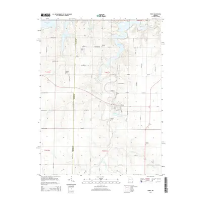
2015 Map of Perry
USGS Topo · Published 2015About this map
The town of Perry serves as a central hub in this Ralls County landscape, where the convergence of several creek systems defines the topography. The northern reaches of the map are dominated by the fingers of Mark Twain Lake, which extend into the valleys once carved by the Dry Fork and other local waterways. This area shows a transition between the established settlement of Perry and the inundated valleys of the lake, illustrating how water management has reshaped the local environment over time.
Find a feature on this map
80 named features on this map. Tap any name to fly to it.
Don’t see what you’re looking for? This feature index may not catch every label — zoom into the map to look around manually.
Map Details
Editions of this 2015 Perry Map
This is the sole edition of this map. No revisions or reprints were ever made.
Other maps of this area

1890 · Mexico
USGS Topo · 1:125,000

1903 · Palmyra
USGS Topo · 1:125,000

1945 · Florida
USGS Topo · 1:62,500

1945 · Perry
USGS Topo · 1:62,500

1948 · Quincy
USGS Topo · 1:250,000

1956 · Quincy
USGS Topo · 1:250,000

1959 · Joanna
USGS Topo · 1:24,000
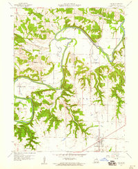
1959 · Center
USGS Topo · 1:24,000
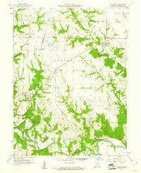
1960 · Stoutsville
USGS Topo · 1:24,000
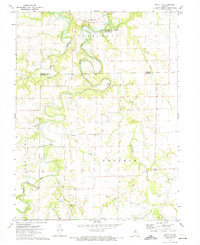
1972 · Santa Fe
USGS Topo · 1:24,000