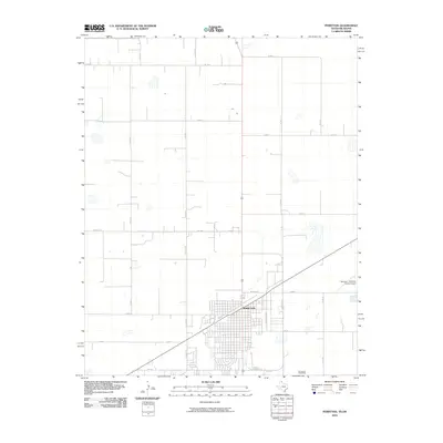
2010 Map of Perryton
USGS Topo · Published 2010About this map
Perryton anchors the southern half of this High Plains landscape, showcasing a rigid grid system that defines both the urban center and the surrounding agricultural tracts. The town's layout is intersected by major regional routes like Fm 1267 and Fm 377, while the SE Loop 143 and W Loop 143 provide a modern perimeter for local transit. The topography is notably flat, characterized by a series of small, ephemeral basins and depressions that dot the northern section of the quadrangle above Co Rd B. Industrial and logistical development is evident along the S Industrial Hwy, while the Perryton - Ochiltree County Airport to the east serves as a critical transportation hub for this corner of the Texas Panhandle.
Find a feature on this map
20 named features on this map. Tap any name to fly to it.
Don’t see what you’re looking for? This feature index may not catch every label — zoom into the map to look around manually.
Map Details
Editions of this 2010 Perryton Map
This is the sole edition of this map. No revisions or reprints were ever made.
Other maps of this area

1954 · Perryton
USGS Topo · 1:250,000

1958 · Perryton
USGS Topo · 1:250,000

1973 · Farnsworth
USGS Topo · 1:24,000

1973 · Booker SW
USGS Topo · 1:24,000

1973 · Perryton SE
USGS Topo · 1:24,000

1973 · Perryton
USGS Topo · 1:24,000

1973 · Bryans Corner SW
USGS Topo · 1:24,000

1973 · Bryans Corner
USGS Topo · 1:24,000

1973 · Balko SW
USGS Topo · 1:24,000

1973 · Huntoon
USGS Topo · 1:24,000