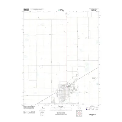
2012 Map of Perryton
USGS Topo · Published 2012About this map
Perryton dominates this 2012 survey, revealing the organized street grid and transportation hub of the northern Texas Panhandle. The map details a transition from the dense urban center, defined by thoroughfares like E Santa Fe Ave and W Center Ave, into the expansive ranching and farming lands that surround the town. A significant regional infrastructure is evident with the Perryton Ochiltree County Airport situated to the east, while the surrounding landscape is partitioned by a meticulous network of county roads including Co Road B and Co Road F. The intersection of State Loop 143 and State Loop 192 highlights the area's role as a commercial crossroads. Researchers can trace the modern development of this county seat, observing how residential avenues like SW 15th Ave and NE 6th Ave spread toward the surrounding agricultural plains.
Find a feature on this map
57 named features on this map. Tap any name to fly to it.
Don’t see what you’re looking for? This feature index may not catch every label — zoom into the map to look around manually.
Map Details
Editions of this 2012 Perryton Map
This is the sole edition of this map. No revisions or reprints were ever made.
Other maps of this area

1954 · Perryton
USGS Topo · 1:250,000

1958 · Perryton
USGS Topo · 1:250,000

1973 · Farnsworth
USGS Topo · 1:24,000

1973 · Booker SW
USGS Topo · 1:24,000

1973 · Perryton SE
USGS Topo · 1:24,000

1973 · Perryton
USGS Topo · 1:24,000

1973 · Bryans Corner SW
USGS Topo · 1:24,000

1973 · Bryans Corner
USGS Topo · 1:24,000

1973 · Balko SW
USGS Topo · 1:24,000

1973 · Huntoon
USGS Topo · 1:24,000