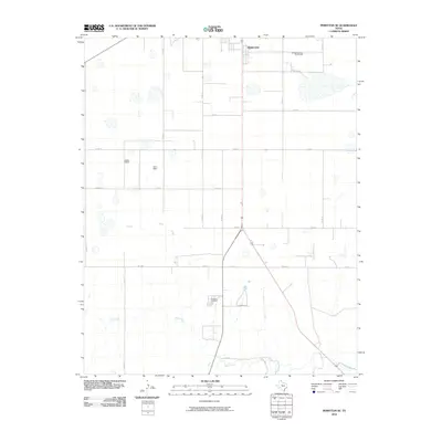
2010 Map of Perryton SE
USGS Topo · Published 2010About this map
Perryton sits at the northern edge of this Ochiltree County landscape, where the High Plains terrain is etched by the meandering path of Wolf Creek. The map reveals a highly structured grid of rural roads, including Co Rd 14 and Co Rd L, which organize the agricultural territory surrounding the town. A significant point of local interest is the Ochiltree Cemetery, located south of the main settlement near the junction of Co Rd 16 and Co Rd P. This 2010 survey illustrates the modern configuration of the Texas Panhandle, showing how transportation routes like Fm 3045 and Fm 2711 bridge the gap between the town's southern expansion and the natural drainage basins of the creek.
Find a feature on this map
19 named features on this map. Tap any name to fly to it.
Don’t see what you’re looking for? This feature index may not catch every label — zoom into the map to look around manually.
Map Details
Editions of this 2010 Perryton SE Map
This is the sole edition of this map. No revisions or reprints were ever made.
Other maps of this area

1954 · Perryton
USGS Topo · 1:250,000

1958 · Perryton
USGS Topo · 1:250,000

1973 · Farnsworth
USGS Topo · 1:24,000

1973 · Booker SW
USGS Topo · 1:24,000

1973 · Sourdough Creek NE
USGS Topo · 1:24,000

1973 · Perryton SE
USGS Topo · 1:24,000

1973 · Perryton
USGS Topo · 1:24,000

1973 · Lake Fryer
USGS Topo · 1:24,000

1973 · Sourdough Creek NW
USGS Topo · 1:24,000

1973 · Huntoon
USGS Topo · 1:24,000