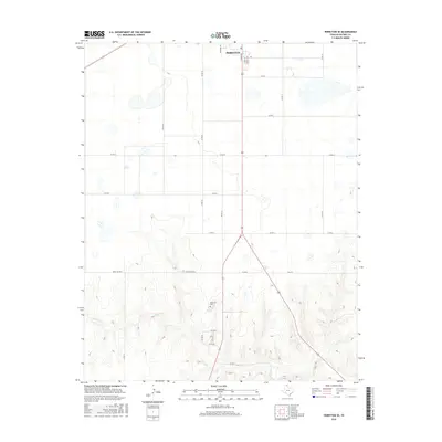
2016 Map of Perryton SE
USGS Topo · Published 2016About this map
The high plains of Ochiltree County meet the breaks of the North Panhandle in this 2016 survey of the area southeast of Perryton. The northern portion of the map shows the transition from the city's southern residential streets, including Harvard Dr and S Main St, into a strictly organized grid of rural county roads. This orderly agricultural landscape shifts dramatically in the southern half of the quadrangle as the terrain descends into the rugged drainage basin of Wolf Cr. For local historians and genealogists, the Ochiltree Cem sits as a lonely landmark near the center of the sheet, surrounded by an intricate network of ranch roads like Ranch Rd 3045 and Fm 2711. The map reveals the contrast between the flat, productive tablelands above and the deeply eroded draws that define the creek's watershed below.
Find a feature on this map
25 named features on this map. Tap any name to fly to it.
Don’t see what you’re looking for? This feature index may not catch every label — zoom into the map to look around manually.
Map Details
Editions of this 2016 Perryton SE Map
This is the sole edition of this map. No revisions or reprints were ever made.
Other maps of this area

1954 · Perryton
USGS Topo · 1:250,000

1958 · Perryton
USGS Topo · 1:250,000

1973 · Farnsworth
USGS Topo · 1:24,000

1973 · Booker SW
USGS Topo · 1:24,000

1973 · Sourdough Creek NE
USGS Topo · 1:24,000

1973 · Perryton SE
USGS Topo · 1:24,000

1973 · Perryton
USGS Topo · 1:24,000

1973 · Lake Fryer
USGS Topo · 1:24,000

1973 · Sourdough Creek NW
USGS Topo · 1:24,000

1973 · Huntoon
USGS Topo · 1:24,000