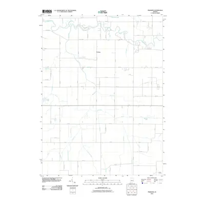
2010 Map of Pershing
USGS Topo · Published 2010About this map
The small settlement of Pershing serves as the focal point of this Fulton County landscape, situated amid a complex network of agricultural drainage infrastructure. The terrain is defined by the winding course of the Tippecanoe River in the north and the extensive reach of Mud Creek through the center of the quadrangle. A system of named waterways, including Grube Ditch, Mathias Ditch, and the uniquely named Wilson Ditch Arm Number Two, illustrates the intensive land management required for local farming in the early 21st century.
Find a feature on this map
44 named features on this map. Tap any name to fly to it.
Don’t see what you’re looking for? This feature index may not catch every label — zoom into the map to look around manually.
Map Details
Editions of this 2010 Pershing Map
This is the sole edition of this map. No revisions or reprints were ever made.
Other maps of this area

1953 · Chicago
USGS Topo · 1:250,000

1953 · Danville
USGS Topo · 1:250,000

1955 · Danville
USGS Topo · 1:250,000

1956 · Danville
USGS Topo · 1:250,000

1957 · Chicago
USGS Topo · 1:250,000

1960 · Fulton
USGS Topo · 1:24,000

1960 · Macy
USGS Topo · 1:24,000

1960 · Grass Creek
USGS Topo · 1:24,000

1962 · Pershing
USGS Topo · 1:24,000

1962 · Kewanna
USGS Topo · 1:24,000