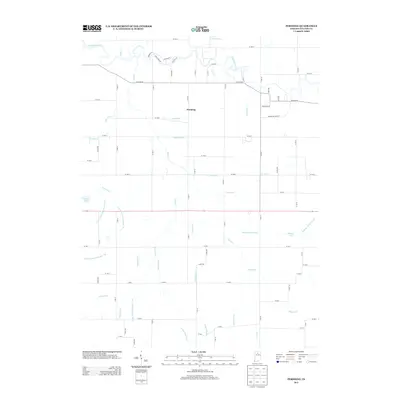
2013 Map of Pershing
USGS Topo · Published 2013About this map
The Tippecanoe River meanders across the northern portion of this landscape, its winding channel creating a sharp contrast with the rigid grid of the surrounding agricultural land. At the center of this drainage network lies the settlement of Pershing, positioned amidst a complex system of managed waterways that define the local topography. These features, including the Tilden Ditch, Mathias Ditch, and Grube Ditch, illustrate a sophisticated effort to reclaim and manage the wet prairie soils characteristic of this Indiana region. Smaller bodies of water such as Anderson Lake, Lears Lake, and Shakey Lake punctuate the grid, serving as remnants of the area's natural hydrology before the intensive ditching. The road network follows a strict section-line orientation, with long stretches of rural routes like W Olson Rd connecting the scattered farmsteads and rural properties that rely on this engineered water system.
Find a feature on this map
57 named features on this map. Tap any name to fly to it.
Don’t see what you’re looking for? This feature index may not catch every label — zoom into the map to look around manually.
Map Details
Editions of this 2013 Pershing Map
This is the sole edition of this map. No revisions or reprints were ever made.
Other maps of this area

1953 · Chicago
USGS Topo · 1:250,000

1953 · Danville
USGS Topo · 1:250,000

1955 · Danville
USGS Topo · 1:250,000

1956 · Danville
USGS Topo · 1:250,000

1957 · Chicago
USGS Topo · 1:250,000

1960 · Fulton
USGS Topo · 1:24,000

1960 · Macy
USGS Topo · 1:24,000

1960 · Grass Creek
USGS Topo · 1:24,000

1962 · Pershing
USGS Topo · 1:24,000

1962 · Kewanna
USGS Topo · 1:24,000