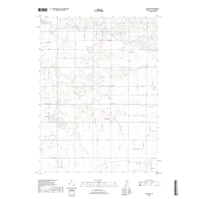
2019 Map of Pershing
USGS Topo · Published 2019About this map
The Tippecanoe River meanders through the northern section of this Fulton County landscape, carving a winding path through a region defined by its extensive water management systems. The terrain is marked by an intricate network of drainage channels, including the Tilden Ditch, Mathias Ditch, and Cessna Ditch, which reflect the area's agricultural engineering. These man-made waterways converge with natural features like Mud Creek and the quiet waters of Anderson Lake and Lear Lake. Near the southern boundary, the Antioch Cem serves as a significant landmark for genealogists and local historians. The map also documents named infrastructure such as the Robbins Walters Ditch and the Kersey Finney Ditch, illustrating how generations of inhabitants have shaped the Indiana soil to manage the local watershed and reclaim the land for farming.
Find a feature on this map
58 named features on this map. Tap any name to fly to it.
Don’t see what you’re looking for? This feature index may not catch every label — zoom into the map to look around manually.
Map Details
Editions of this 2019 Pershing Map
This is the sole edition of this map. No revisions or reprints were ever made.
Other maps of this area

1953 · Chicago
USGS Topo · 1:250,000

1953 · Danville
USGS Topo · 1:250,000

1955 · Danville
USGS Topo · 1:250,000

1956 · Danville
USGS Topo · 1:250,000

1957 · Chicago
USGS Topo · 1:250,000

1960 · Fulton
USGS Topo · 1:24,000

1960 · Macy
USGS Topo · 1:24,000

1960 · Grass Creek
USGS Topo · 1:24,000

1962 · Pershing
USGS Topo · 1:24,000

1962 · Kewanna
USGS Topo · 1:24,000