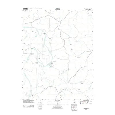
2012 Map of Pershing
USGS Topo · Published 2012About this map
The Gasconade River dictates the geography of this Missouri region, carving a deep, winding path through high bluffs and bottomlands. Several historic river crossings reflect an era of water-based transit, notably Feigler Ferry and Brown Shanty Ferry, alongside the natural Krueger Ford to the south. The map is particularly rich for genealogical research, identifying numerous family-named burial grounds such as Baecker Cemetery, Bickmeyer Cemetery, and Eikerman Cemetery scattered across the upland ridges.
Find a feature on this map
63 named features on this map. Tap any name to fly to it.
Don’t see what you’re looking for? This feature index may not catch every label — zoom into the map to look around manually.
Map Details
Editions of this 2012 Pershing Map
This is the sole edition of this map. No revisions or reprints were ever made.
Other maps of this area

1890 · Hermann
USGS Topo · 1:125,000

1890 · Fulton
USGS Topo · 1:125,000

1903 · Sullivan
USGS Topo · 1:125,000

1934 · Bland
USGS Topo · 1:62,500

1935 · Gerald
USGS Topo · 1:48,000

1935 · Morrison
USGS Topo · 1:48,000

1936 · Hermann
USGS Topo · 1:48,000

1937 · Bland
USGS Topo · 1:62,500

1941 · Gerald
USGS Topo · 1:62,500

1942 · Morrison
USGS Topo · 1:62,500