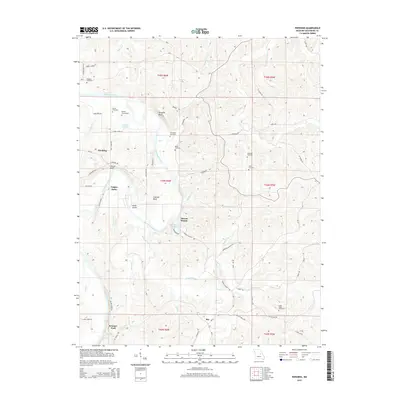
2015 Map of Pershing
USGS Topo · Published 2015About this map
The Gasconade River winds through this central Missouri landscape, shaping the development of rural Gasconade County. The river’s influence is evident in the historical river crossings such as Feigler Ferry and Krueger Ford, alongside prominent topographical features like Church Bluff and Turnpike Bluff. Small settlements like Pershing, Bay, and Brown Shanty dot the uplands, connected by a network of local roads named for early families.
Find a feature on this map
64 named features on this map. Tap any name to fly to it.
Don’t see what you’re looking for? This feature index may not catch every label — zoom into the map to look around manually.
Map Details
Editions of this 2015 Pershing Map
This is the sole edition of this map. No revisions or reprints were ever made.
Other maps of this area

1890 · Hermann
USGS Topo · 1:125,000

1890 · Fulton
USGS Topo · 1:125,000

1903 · Sullivan
USGS Topo · 1:125,000

1934 · Bland
USGS Topo · 1:62,500

1935 · Gerald
USGS Topo · 1:48,000

1935 · Morrison
USGS Topo · 1:48,000

1936 · Hermann
USGS Topo · 1:48,000

1937 · Bland
USGS Topo · 1:62,500

1941 · Gerald
USGS Topo · 1:62,500

1942 · Morrison
USGS Topo · 1:62,500