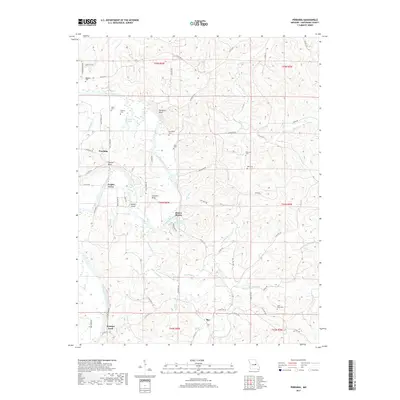
2017 Map of Pershing
USGS Topo · Published 2017About this map
Gasconade River winds through the heart of this Gasconade County landscape, defining the rural character of a region marked by steep bluffs and deep river bends. The settlement of Pershing sits near the river's northern reach, while the small community of Bay anchors the southern portion of the sheet. Between them, the topography is shaped by prominent landforms such as Turnpike Bluff and Church Bluff, alongside distinct river features like Clausner Bend and Helds Island.
Find a feature on this map
73 named features on this map. Tap any name to fly to it.
Don’t see what you’re looking for? This feature index may not catch every label — zoom into the map to look around manually.
Map Details
Editions of this 2017 Pershing Map
This is the sole edition of this map. No revisions or reprints were ever made.
Other maps of this area

1890 · Hermann
USGS Topo · 1:125,000

1890 · Fulton
USGS Topo · 1:125,000

1903 · Sullivan
USGS Topo · 1:125,000

1934 · Bland
USGS Topo · 1:62,500

1935 · Gerald
USGS Topo · 1:48,000

1935 · Morrison
USGS Topo · 1:48,000

1936 · Hermann
USGS Topo · 1:48,000

1937 · Bland
USGS Topo · 1:62,500

1941 · Gerald
USGS Topo · 1:62,500

1942 · Morrison
USGS Topo · 1:62,500