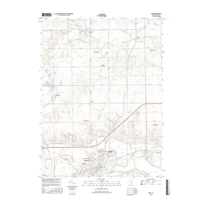
2016 Map of Peru
USGS Topo · Published 2016About this map
Peru serves as the focal point of this Miami County survey, situated at the confluence where the Mississinewa River joins the Wabash River. The landscape is defined by its hydrography, with the Eel River winding through the northern settlements of Denver and Mexico, while smaller tributaries like Washonis Cr and Flowers Cr drain the surrounding agricultural lands. The map reveals a dense network of local history markers, particularly seen in the distribution of family and community burial grounds such as Schrock Cem and Mount Hope Cem.
Find a feature on this map
64 named features on this map. Tap any name to fly to it.
Don’t see what you’re looking for? This feature index may not catch every label — zoom into the map to look around manually.
Map Details
Editions of this 2016 Peru Map
This is the sole edition of this map. No revisions or reprints were ever made.
Other maps of this area

1951 · Peru
USGS Topo · 1:24,000

1951 · Onward
USGS Topo · 1:24,000

1951 · Twelve Mile
USGS Topo · 1:24,000

1951 · Bunker Hill
USGS Topo · 1:24,000

1951 · Richvalley
USGS Topo · 1:24,000

1953 · Peoria
USGS Topo · 1:24,000

1953 · Danville
USGS Topo · 1:250,000

1953 · Muncie
USGS Topo · 1:250,000

1955 · Danville
USGS Topo · 1:250,000

1956 · Muncie
USGS Topo · 1:250,000