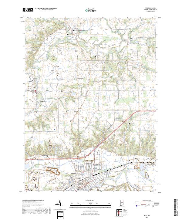
2022 Map of Peru
USGS Topo · Published 2022About this map
The Wabash River and Mississinewa River converge at Peru, a historic regional hub where the Miami County Courthouse anchor the downtown grid. This modern survey illustrates the transition of the northern landscape from traditional rail transport to recreational use, prominently featuring the Nickle Plate Rail-Trl as it bisects the terrain from Denver south through Doyle. Smaller outlying communities like Mexico and Chili remain defined by their proximity to the Eel River, while numerous rural burial grounds such as Old German Baptist Cem and Mount Hope Cem provide specific points of interest for genealogical research. The map captures the industrial and residential corridors of Oakdale and Ridgeview, contrasting with the surrounding agricultural sections and drainage features like Prairie Ditch.
Find a feature on this map
138 named features on this map. Tap any name to fly to it.
Don’t see what you’re looking for? This feature index may not catch every label — zoom into the map to look around manually.
Map Details
Editions of this 2022 Peru Map
This is the sole edition of this map. No revisions or reprints were ever made.
Other maps of this area

1951 · Peru
USGS Topo · 1:24,000

1951 · Onward
USGS Topo · 1:24,000

1951 · Twelve Mile
USGS Topo · 1:24,000

1951 · Bunker Hill
USGS Topo · 1:24,000

1951 · Richvalley
USGS Topo · 1:24,000

1953 · Peoria
USGS Topo · 1:24,000

1953 · Danville
USGS Topo · 1:250,000

1953 · Muncie
USGS Topo · 1:250,000

1955 · Danville
USGS Topo · 1:250,000

1956 · Muncie
USGS Topo · 1:250,000