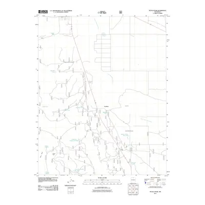
2011 Map of Petaca Peak
USGS Topo · Published 2011About this map
Servilleta and the nearby settlement of Chambers sit within a landscape defined by an extensive network of water management features and seasonal drainage. The area is dominated by the Arroyo Aguaje de la Petaca, which winds through the high-desert terrain near prominent landmarks like Petaca Peak and the rising profile of Petaca Mesa. The map reveals a land utilized for ranching or livestock, evidenced by the high density of named tanks such as Ambrose Tank, South Amador Tank, and the Comanche Number Two Tank. These catchments, along with canyons like Cañon de Tio Gordito and Servilleta Canyon, illustrate the critical importance of water access in this part of Taos County, where a complex grid of local roads connects isolated tanks and rural holdings across the basin.
Find a feature on this map
21 named features on this map. Tap any name to fly to it.
Don’t see what you’re looking for? This feature index may not catch every label — zoom into the map to look around manually.
Map Details
Editions of this 2011 Petaca Peak Map
This is the sole edition of this map. No revisions or reprints were ever made.
Other maps of this area

1918 · Abiquiu
USGS Topo · 1:125,000

1918 · Tusas
USGS Topo · 1:125,000

1953 · La Madera
USGS Topo · 1:24,000

1954 · Raton
USGS Topo · 1:250,000

1954 · Aztec
USGS Topo · 1:250,000

1958 · Raton
USGS Topo · 1:250,000

1958 · Aztec
USGS Topo · 1:250,000

1961 · Tres Orejas
USGS Topo · 1:24,000

1961 · Servilleta Plaza
USGS Topo · 1:24,000

1962 · Aztec
USGS Topo · 1:250,000