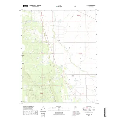
2020 Map of Petaca Peak
USGS Topo · Published 2020About this map
Petaca Peak rises as a prominent landmark in this 2020 survey of northern New Mexico, standing over the transition from high mesas to deep drainage basins. The landscape is defined by the Rio Arriba Co and Taos Co boundary, which cuts through a region of complex geology. Water management is central to the land's utility, evidenced by a wide network of livestock and utility reservoirs like Ambrose Tank, Servilleta Tank, and Petaca Tank B. Large portions of the area fall under the stewardship of the Carson National Forest, where the terrain drops into dramatic features such as Servilleta Canyon and Dorado Canyon. These geographic labels reflect the cultural and natural history of the High Desert, tracing seasonal water flows through Arroyo Aguaje de la Petaca and across the Comanche Rim.
Find a feature on this map
32 named features on this map. Tap any name to fly to it.
Don’t see what you’re looking for? This feature index may not catch every label — zoom into the map to look around manually.
Map Details
Editions of this 2020 Petaca Peak Map
This is the sole edition of this map. No revisions or reprints were ever made.
Other maps of this area

1918 · Abiquiu
USGS Topo · 1:125,000

1918 · Tusas
USGS Topo · 1:125,000

1953 · La Madera
USGS Topo · 1:24,000

1954 · Raton
USGS Topo · 1:250,000

1954 · Aztec
USGS Topo · 1:250,000

1958 · Raton
USGS Topo · 1:250,000

1958 · Aztec
USGS Topo · 1:250,000

1961 · Tres Orejas
USGS Topo · 1:24,000

1961 · Servilleta Plaza
USGS Topo · 1:24,000

1962 · Aztec
USGS Topo · 1:250,000