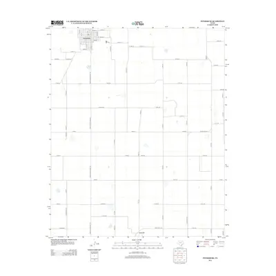
2012 Map of Petersburg
USGS Topo · Published 2012About this map
Petersburg anchors the northwest corner of this High Plains landscape, where a precise grid of agricultural roads defines the terrain. The town's street plan is clearly delineated, from Avenue D down to Avenue O, intersected by local routes like W 5th St and E 6th St. To the south lies the historic community of Estacado, situated near the border of Hale Co and Floyd Co. The area is heavily dominated by large-scale farming operations, interconnected by an extensive network of county roads and the primary north-south artery, Farm-To-Market Road 789. This 2012 survey illustrates the enduring importance of these rural hubs and the systematic organization of the Texas Panhandle's agricultural heartland.
Find a feature on this map
58 named features on this map. Tap any name to fly to it.
Don’t see what you’re looking for? This feature index may not catch every label — zoom into the map to look around manually.
Map Details
Editions of this 2012 Petersburg Map
This is the sole edition of this map. No revisions or reprints were ever made.
Other maps of this area

1954 · Lubbock
USGS Topo · 1:250,000

1965 · Idalou
USGS Topo · 1:24,000

1965 · Petersburg
USGS Topo · 1:24,000

1965 · Lorenzo
USGS Topo · 1:24,000

1965 · Heckville
USGS Topo · 1:24,000

1965 · Cone
USGS Topo · 1:24,000

1965 · Sandhill
USGS Topo · 1:24,000

1967 · Ralls
USGS Topo · 1:24,000

1968 · Barwise
USGS Topo · 1:24,000

1968 · Julia Lake
USGS Topo · 1:24,000