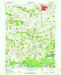
1961 Map of Petersburg
USGS Topo · Published 1973About this map
Petersburg sits at the northern end of this mid-century survey, a regional hub defined by its proximity to the White River and its position atop a network of extraction and transit. The landscape south of town reveals an intensive industrial history, marked by multiple Strip Mine operations and the sprawling Ashby Yards of the New York Central Railroad. This rail system, alongside the Alger, Winslow and Western Railroad, underscores the area's role in moving coal and timber from the surrounding countryside.
Find a feature on this map
70 named features on this map. Tap any name to fly to it.
Don’t see what you’re looking for? This feature index may not catch every label — zoom into the map to look around manually.
Map Details
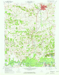
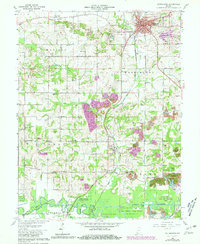
Editions of this 1961 Petersburg Map
3 editions found
Other maps of this area

1902 · Ditney
USGS Topo · 1:125,000

1903 · Velpen
USGS Topo · 1:62,500

1903 · Petersburg
USGS Topo · 1:62,500

1944 · Monroe City
USGS Topo · 1:24,000

1944 · Iona
USGS Topo · 1:24,000

1945 · Sandy Hook
USGS Topo · 1:24,000

1956 · Vincennes
USGS Topo · 1:250,000

1957 · Vincennes
USGS Topo · 1:250,000

1958 · Vincennes
USGS Topo · 1:250,000
1958 · Monroe City
USGS Topo · 1:24,000