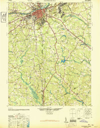
1946 Map of Petersburg
USGS Topo · Published 1946About this map
Petersburg stands as a pivotal rail and river junction immediately following World War II, situated where the Appomattox River meets a dense network of major railroads including the Norfolk and Western, the Atlantic Coast Line, and the Seaboard Air Line. This detailed survey highlights the city's complex landscape, from the industrial and residential corridors of Colonial Heights and Ettrick to the significant institutional footprints of Virginia State College and Central State Hospital.
Find a feature on this map
71 named features on this map. Tap any name to fly to it.
Don’t see what you’re looking for? This feature index may not catch every label — zoom into the map to look around manually.
Map Details
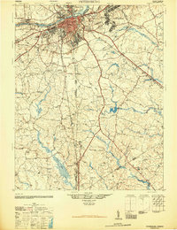
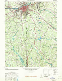
Editions of this 1946 Petersburg Map
3 editions found
Other maps of this area

1894 · Bermuda Hundred
USGS Topo · 1:62,500

1894 · Petersburg
USGS Topo · 1:62,500

1897 · Amelia
USGS Topo · 1:125,000

1918 · Charles City
USGS Topo · 1:62,500

1919 · Jarratt
USGS Topo · 1:62,500

1919 · Mc Kenney
USGS Topo · 1:48,000

1919 · Disputanta
USGS Topo · 1:62,500

1919 · Homeville
USGS Topo · 1:48,000

1920 · Homeville
USGS Topo · 1:62,500

1921 · Mc Kenney
USGS Topo · 1:62,500