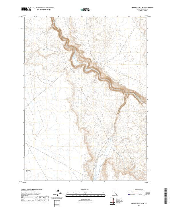
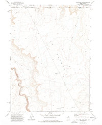
2021 Map of Peterson Table West
USGS Topo · Published 2021About this map
South Fork Owyhee River carves a deep, winding canyon through the high plateau of Elko County, creating a sharp contrast against the surrounding tablelands. This 2021 survey of the high desert environment showcases the stark geography of the Y P Desert, where narrow drainages like Fourmile Cr feed into the primary river system. The landscape is defined by elevated landforms such as Peterson Table, which rises above the canyon floor, and the expansive Twelvemile Flat to the south. The mapping reflects a region where water is the primary architect of the terrain, dictating the sparse infrastructure and the path of modern travel through this part of the Great Basin. Large sections of the map are defined by the Public Land Survey System grid, including boundaries for t46n r48e and t46n r49e, which organize this vast grazing and wilderness area.
Find a feature on this map
9 named features on this map. Tap any name to fly to it.
Don’t see what you’re looking for? This feature index may not catch every label — zoom into the map to look around manually.
Map Details
Editions of this 2021 Peterson Table West Map
This is the sole edition of this map. No revisions or reprints were ever made.
Other maps of this area

1955 · McDermitt
USGS Topo · 1:250,000

1959 · McDermitt
USGS Topo · 1:250,000

1964 · Hat Peak
USGS Topo · 1:62,500

1964 · Wilson Reservoir
USGS Topo · 1:62,500
1973 · Rubber Hill
USGS Topo · 1:24,000

1973 · Twelvemile Flat
USGS Topo · 1:24,000
1974 · Twelvemile Flat SE
USGS Topo · 1:24,000

1974 · Desert Ranch
USGS Topo · 1:24,000
1977 · Silver Lake
USGS Topo · 1:24,000
1977 · State Line Camp
USGS Topo · 1:24,000