2013 Map of Petroleum
USGS Topo · Published 2013About this map
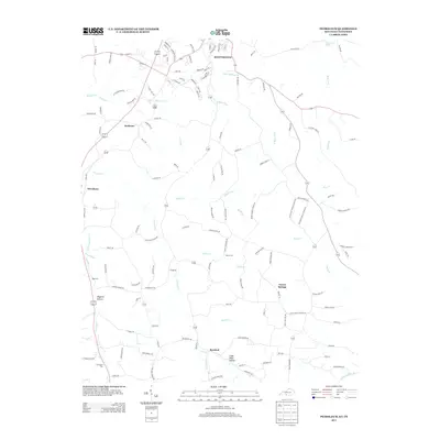
Scottsville anchors the northern portion of this Kentucky-Tennessee borderland, showing the development of the county seat as it appeared in the early 21st century. The map traces a landscape defined by narrow creek valleys and distinct hollows, such as Wagoner Hollow and Cider Press Hollow, where local agriculture and small settlements have persisted for generations. Moving south from the city, the terrain transitions into the smaller rural hubs of Petroleum and Rodemer, while Forest Springs and Barefoot occupy the southern reaches. Family-named sites like Nancy Cem and Old Carter Cem provide essential data for genealogical research, situated near winding waterways like Trammel Cr and the W Bays Fork. The network of backroads connects these dispersed communities, illustrating the enduring spatial pattern of Allen County's rural life.
Find a feature on this map
138 named features on this map. Tap any name to fly to it.
Don’t see what you’re looking for? This feature index may not catch every label — zoom into the map to look around manually.
Map Details
Editions of this 2013 Petroleum Map
This is the sole edition of this map. No revisions or reprints were ever made.
Other maps of this area

1921 · Bowling Green
USGS Topo · 1:62,500

1923 · Bowling Green
USGS Topo · 1:62,500

1926 · Scottsville
USGS Topo · 1:62,500

1928 · Adolphus
USGS Topo · 1:48,000

1931 · Lafayette
USGS Topo · 1:62,500

1931 · Adolphus
USGS Topo · 1:62,500

1942 · Gallatin
USGS Topo · 1:100,000

1954 · Austin
USGS Topo · 1:24,000

1954 · Petroleum
USGS Topo · 1:24,000

1954 · Scottsville
USGS Topo · 1:24,000