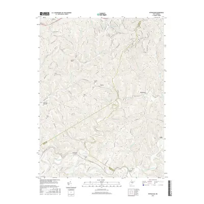
2016 Map of Petroleum
USGS Topo · Published 2016About this map
Petroleum and the surrounding Ritchie County landscape are defined by a complex network of narrow hollows and ridge-top trails. The settlement at Petroleum sits near Goose Creek, reflecting the area's history in the West Virginia oil and gas fields, further evidenced by the nearby Oil Spring and the N Bend Rail Trail which follows an old rail grade through the hills. This map is particularly dense with genealogical sites, including the Greenhill Catholic Cem, the Independent Order of Odd Fellows Cem, and the family-associated Farr Cem. Downstream along the Hughes River, the community of Freeport marks a point where the terrain softens slightly. The mapping of modern recreational paths like Warrior Ridge Trail and Gary's Grind alongside older rural roads like Henry Cress Rd illustrates the shift from industrial extractive roots to a landscape of conservation and leisure.
Find a feature on this map
133 named features on this map. Tap any name to fly to it.
Don’t see what you’re looking for? This feature index may not catch every label — zoom into the map to look around manually.
Map Details
Editions of this 2016 Petroleum Map
This is the sole edition of this map. No revisions or reprints were ever made.
Other maps of this area

1904 · Marietta
USGS Topo · 1:62,500

1906 · Saint Marys
USGS Topo · 1:62,500

1906 · Elizabeth
USGS Topo · 1:62,500

1907 · Harrisville
USGS Topo · 1:62,500

1924 · St Marys
USGS Topo · 1:62,500

1924 · Harrisville
USGS Topo · 1:62,500

1924 · Marietta
USGS Topo · 1:62,500

1924 · Elizabeth
USGS Topo · 1:62,500

1926 · Elizabeth
USGS Topo · 1:62,500

1926 · Harrisville
USGS Topo · 1:62,500