
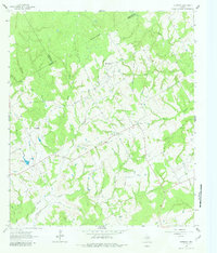
1962 Map of Petteway
USGS Topo · Published 1964About this map
Petteway and White Rock serve as the primary focal points of this rural landscape during the early 1960s, situated along the county lines of Limestone and Robertson. The settlement pattern is characterized by scattered homesteads and small civic institutions that supported a dispersed farming community. Local heritage is preserved through the locations of the Petteway Ch and Walnut Ch, along with the Post Oak Sch, which anchor the social geography of the era.
Find a feature on this map
27 named features on this map. Tap any name to fly to it.
Don’t see what you’re looking for? This feature index may not catch every label — zoom into the map to look around manually.
Map Details
Editions of this 1962 Petteway Map
2 editions found
Other maps of this area

1927 · Marquez
USGS Topo · 1:62,500

1930 · Marquez
USGS Topo · 1:62,500

1954 · Waco
USGS Topo · 1:250,000

1955 · Waco
USGS Topo · 1:250,000

1962 · Hammond
USGS Topo · 1:24,000

1962 · Bremond
USGS Topo · 1:24,000
1962 · Owensville
USGS Topo · 1:24,000
1965 · Franklin
USGS Topo · 1:24,000
1965 · Bald Prairie
USGS Topo · 1:24,000

1965 · Kosse West
USGS Topo · 1:24,000