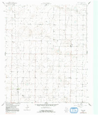
1965 Map of Pettit
USGS Topo · Published 1991About this map
The Cochran Co and Hockley Co border runs directly through this mid-1960s survey of the High Plains, where the industrial landscape of the Levelland and Slaughter Oil and Gas Field dominates the southern reaches. The small settlement of Pettit serves as a local hub, while the presence of Whiteface Farms and numerous gravel extractions, including several Gravel Pits and an isolated Gravel Pit, speak to the region's agricultural and resource-based economy. The terrain is defined by subtle topographic shifts, most notably along the Yellow House Draw, which cuts through the northern section of the quadrangle. A network of unimproved dirt roads and an extensive Pipeline system connect the scattered wells and farmsteads, illustrating the infrastructure required to manage both the surface land and the subterranean petroleum resources during this era of West Texas development.
Find a feature on this map
9 named features on this map. Tap any name to fly to it.
Don’t see what you’re looking for? This feature index may not catch every label — zoom into the map to look around manually.
Map Details
Editions of this 1965 Pettit Map
2 editions found
Other maps of this area

1954 · Brownfield
USGS Topo · 1:250,000

1958 · Brownfield
USGS Topo · 1:250,000

1962 · Brownfield
USGS Topo · 1:250,000

1964 · Oklahoma Flat
USGS Topo · 1:24,000

1964 · Pep
USGS Topo · 1:24,000

1965 · Levelland West
USGS Topo · 1:24,000

1965 · Hester Ranch
USGS Topo · 1:24,000

1965 · Pettit
USGS Topo · 1:24,000

1965 · Whiteface
USGS Topo · 1:24,000

1970 · Whiteface SW
USGS Topo · 1:24,000