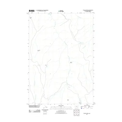
2011 Map of Peyote Point
USGS Topo · Published 2011About this map
Peyote Point rises as a prominent landmark in this rugged section of Big Horn County, where the high plains meet the intricate drainage systems of the Bighorn River basin. The landscape is defined by its deep canyons and ridges, notably Saw Log Canyon and Cooper Ridge, which segment the terrain. Small-scale human presence is marked by isolated sites such as the Hunter Cabin and the Absaloka Youth Camp, suggesting the area's use for seasonal recreation and remote operations.
Find a feature on this map
16 named features on this map. Tap any name to fly to it.
Don’t see what you’re looking for? This feature index may not catch every label — zoom into the map to look around manually.
Map Details
Editions of this 2011 Peyote Point Map
This is the sole edition of this map. No revisions or reprints were ever made.
Other maps of this area

1894 · St. Xavier
USGS Topo · 1:125,000

1901 · St. Xavier
USGS Topo · 1:125,000

1954 · Billings
USGS Topo · 1:250,000

1954 · Hardin
USGS Topo · 1:250,000

1957 · Hardin
USGS Topo · 1:250,000

1957 · Billings
USGS Topo · 1:250,000

1958 · Billings
USGS Topo · 1:250,000

1958 · Hardin
USGS Topo · 1:250,000

1964 · Two Point
USGS Topo · 1:24,000

1964 · Peyote Point
USGS Topo · 1:24,000