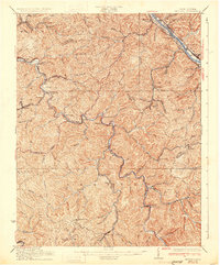
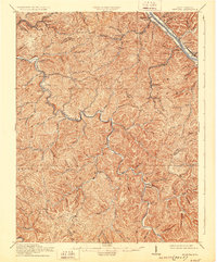
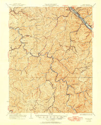
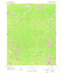
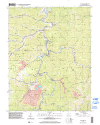
1931 Map of Peytona
USGS Topo · Published 1931About this map
Kanawha River coal traffic and the intricate rail network of the Boone and Kanawha County border define this 1931 revision. The landscape is dominated by the narrow, winding valleys of the Big Coal River and Little Coal River, which serve as the primary conduits for settlement and industry. Shortline railroads like the Winifrede RR and the Kanawha and Coal River weave through the hollows, connecting mining communities such as Winifrede, Nellis, and Prenter to the main lines.
Find a feature on this map
100 named features on this map. Tap any name to fly to it.
Don’t see what you’re looking for? This feature index may not catch every label — zoom into the map to look around manually.
Map Details
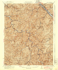
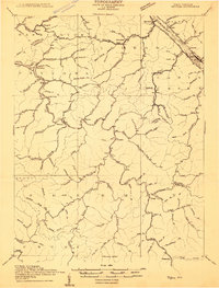
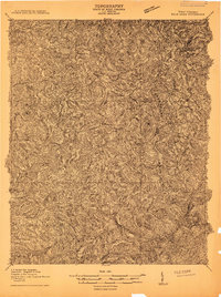
Editions of this 1931 Peytona Map
3 editions found
Historical Maps of Marmet Through Time
27 maps found
1909 Peytona
Boone County, WV
1910 Bald Knob
Boone County, WV
1911 Peytona
Boone County, WV
1912 Bald Knob
Boone County, WV

1928 Bald Knob
Boone County, WV
1929 Peytona
Boone County, WV
1931 Bald Knob
Boone County, WV
1931 Peytona
Boone County, WV
1962 Julian
Boone County, WV
1962 Mud
Boone County, WV
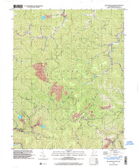
1963 Clothier
Boone County, WV
1965 Williams Mountain
Boone County, WV
1968 Lorado
Boone County, WV
1968 Pilot Knob
Boone County, WV
1968 Wharton
Boone County, WV
1996 Clothier
Boone County, WV
1996 Lorado
Boone County, WV
1996 Mud
Boone County, WV
1996 Wharton
Boone County, WV
1996 Williams Mountain
Boone County, WV
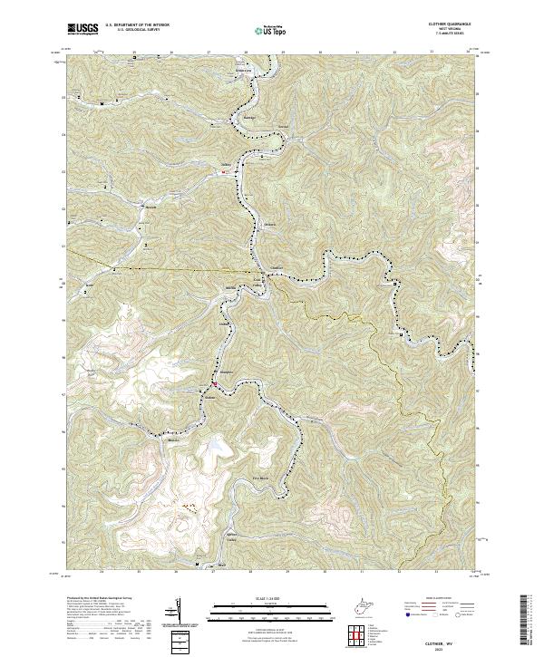
2023 Clothier
Boone County, WV
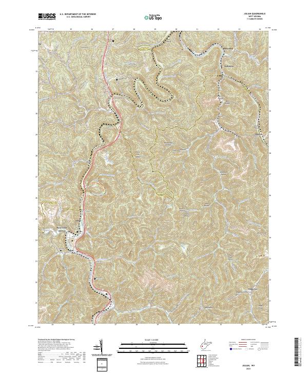
2023 Julian
Boone County, WV
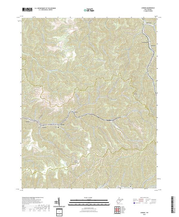
2023 Lorado
Boone County, WV
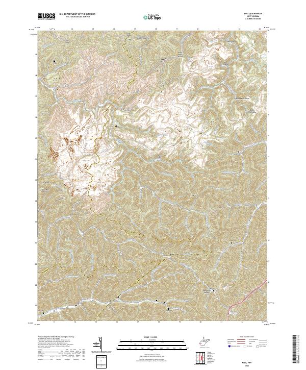
2023 Mud
Boone County, WV
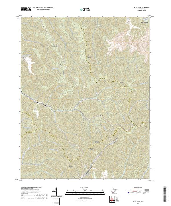
2023 Pilot Knob
Boone County, WV
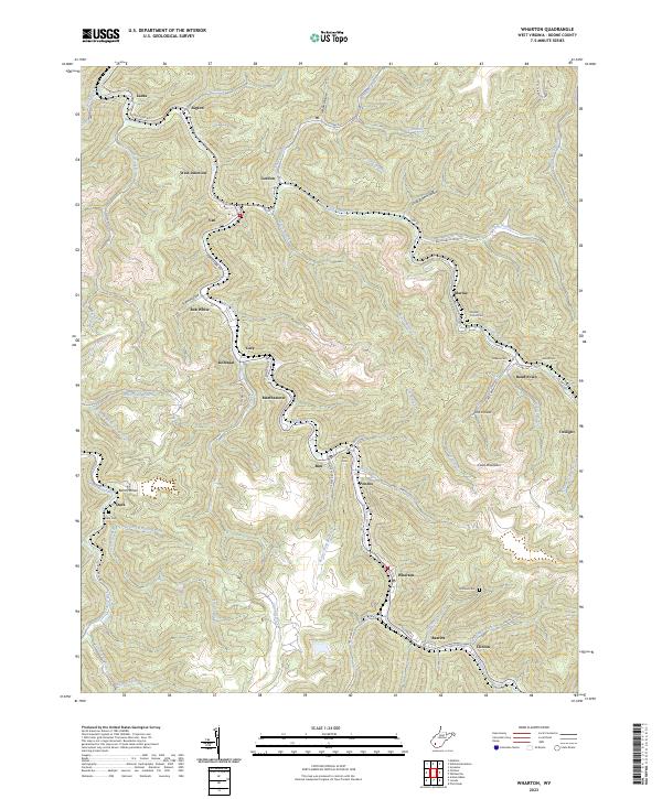
2023 Wharton
Boone County, WV
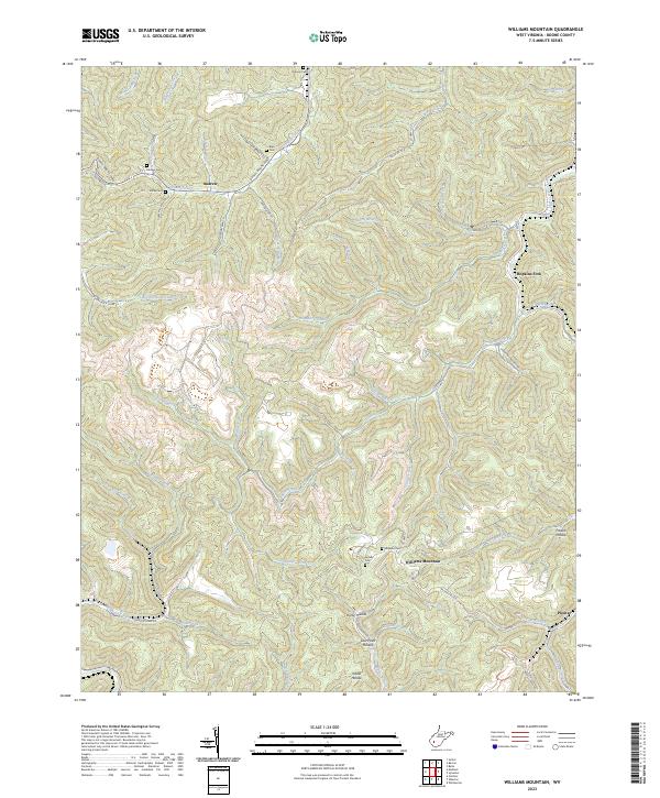
2023 Williams Mountain
Boone County, WV