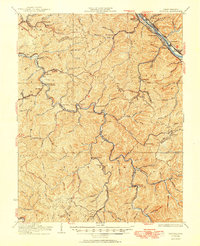
1931 Map of Peytona
USGS Topo · Published 1950About this map
The Kanawha River corridor serves as the industrial and transportation artery of this region, where the Chesapeake and Ohio railroad shadows the water through towns like Marmet, Chesapeake, and Belle. This 1929 culture revision illustrates a landscape defined by the narrow river valleys and deep hollows characteristic of West Virginia coal country. South of the main river, the Coal River and its various forks, such as the Little Coal River, dictate the placement of smaller communities like Peytona and Racine.
Find a feature on this map
74 named features on this map. Tap any name to fly to it.
Don’t see what you’re looking for? This feature index may not catch every label — zoom into the map to look around manually.
Map Details
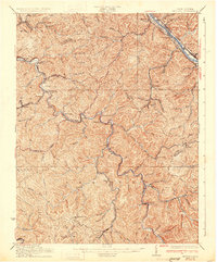
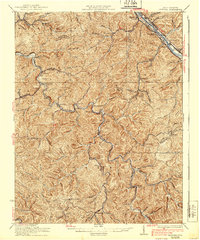
Editions of this 1931 Peytona Map
3 editions found
Other maps of this area

1891 · Oceana
USGS Topo · 1:125,000

1891 · Raleigh
USGS Topo · 1:125,000

1893 · Oceana
USGS Topo · 1:125,000

1897 · Kanawha Falls
USGS Topo · 1:125,000

1897 · Raleigh
USGS Topo · 1:125,000

1898 · Oceana
USGS Topo · 1:125,000

1899 · Charleston
USGS Topo · 1:125,000

1900 · Kanawha Falls
USGS Topo · 1:125,000

1901 · Kanawha Falls
USGS Topo · 1:125,000

1902 · Raleigh
USGS Topo · 1:125,000