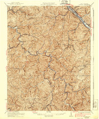
1931 Map of Peytona
USGS Topo · Published 1939About this map
Coal River and the Kanawha River anchor this late 1920s topographical view of Boone and Kanawha Counties, revealing a landscape defined by steep hollows and narrow valley settlements. The industrial importance of the region is evident in the rail networks of the Chesapeake and Ohio and the New York Central, which follow the riverbanks to serve coal towns like Winifrede and Peytona. Smaller rural communities and post offices, including Costa PO and Quincy PO, are scattered along the winding tributaries such as Bull Creek and Lens Creek. The map shows a transition from the industrial river corridors to the remote upland areas marked by local landmarks like Williams Sch. This edition documents the region's complex settlement patterns just before mid-century modernization, preserving the locations of vanished junctions and family-named landmarks such as Hopkins Fork and Sandlick Creek.
Find a feature on this map
87 named features on this map. Tap any name to fly to it.
Don’t see what you’re looking for? This feature index may not catch every label — zoom into the map to look around manually.
Map Details
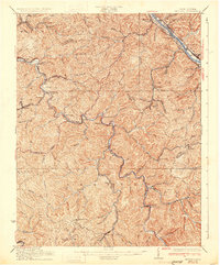
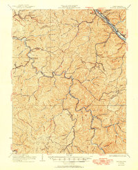
Editions of this 1931 Peytona Map
3 editions found
Other maps of this area

1891 · Oceana
USGS Topo · 1:125,000

1891 · Raleigh
USGS Topo · 1:125,000

1893 · Oceana
USGS Topo · 1:125,000

1897 · Kanawha Falls
USGS Topo · 1:125,000

1897 · Raleigh
USGS Topo · 1:125,000

1898 · Oceana
USGS Topo · 1:125,000

1899 · Charleston
USGS Topo · 1:125,000

1900 · Kanawha Falls
USGS Topo · 1:125,000

1901 · Kanawha Falls
USGS Topo · 1:125,000

1902 · Raleigh
USGS Topo · 1:125,000