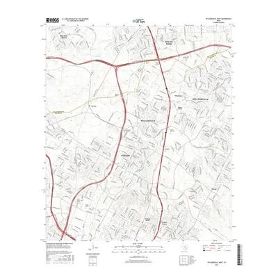
2016 Map of Pflugerville West
USGS Topo · Published 2016About this map
The boundary between Williamson and Travis Counties serves as a central divide in this suburbanizing landscape north of Austin. The map documents a dense network of residential development and infrastructure, yet retains clear links to its rural past through sites like Bratton Cemetery and McNeil Cemetery. Large institutional footprints are evident, including the University of Phoenix-Austin Campus and the Texas Culinary Academy, illustrating the area's shift toward a service-oriented economy.
Find a feature on this map
38 named features on this map. Tap any name to fly to it.
Don’t see what you’re looking for? This feature index may not catch every label — zoom into the map to look around manually.
Map Details
Editions of this 2016 Pflugerville West Map
This is the sole edition of this map. No revisions or reprints were ever made.
Other maps of this area

1893 · Georgetown
USGS Topo · 1:125,000

1896 · Austin
USGS Topo · 1:125,000

1897 · Austin
USGS Topo · 1:125,000

1910 · Austin
USGS Topo · 1:125,000

1925 · Georgetown 4-d
USGS Topo · 1:48,000

1928 · Round Rock
USGS Topo · 1:62,500

1932 · Mt. Bonnell
USGS Topo · 1:62,500

1949 · Round Rock
USGS Topo · 1:62,500

1951 · Round Rock
USGS Topo · 1:62,500

1954 · Austin East
USGS Topo · 1:24,000